
Welcome Hiking Students!
Hello Hiking Students! Great first class meeting! Reminder next week we will meet at the Mendoza Ranch entrance of Harvey Bear near Coyote Lake! Patty Harrell, harrellz6@verizon.net is willing to carpool if anyone is interested. Thank you, Patty! If you are willing to carpool or need a ride, you can contact me ndequin@gavilan.edu and I will help coordinate!
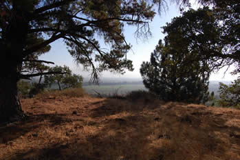
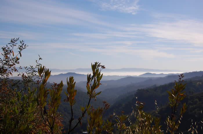
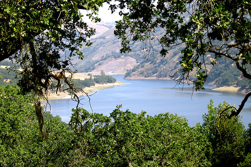
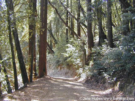
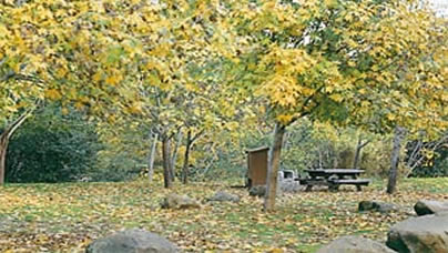
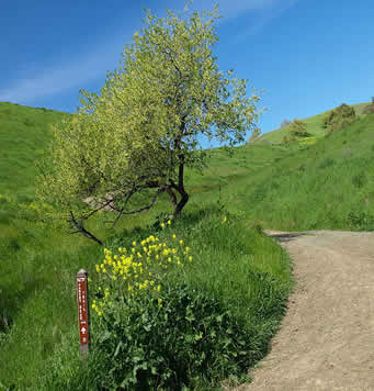
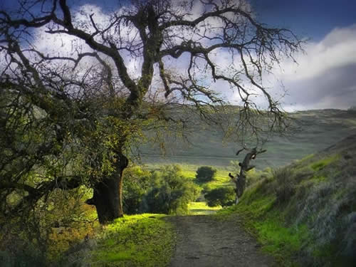
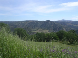
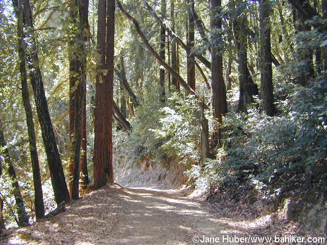
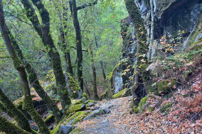
For those of you who like to take photos and do so on the trails, email them to me and we will post them on the webpage. Friday we will meet in the Gym (8/29) Photos below are from Carlos, a student who took hiking last fall! Thank you Carlos!
|
Friday Sept. 5th - Meet at Mendoza Ranch (part of Harvey Bear Ranch -near Coyote Lake). Class begins at 8:10AM. Coyote Lake - Mendoza Ranch Entrance - Directions: From Gavilan College - Take 101 North to the Leavesly Road Exit (go East {right}). Take Leavesly Road (2 miles) to New Ave. Make a left on New Ave (north) for .5 of a mile. Make a right on Roop Road and continue east for 3 miles up into the foothills. Make a left into the Park entrance. If you have gone to the Coyote Lake entrance you have gone to far!
There is not a lot of shaded areas on these trails.You may want a hat! Approximate milage: 6
|
 |
Friday September 12th
We will meet at the sprig lake recreation area. Our hike begins at the Sprig trailhead.
Directions: From Gavilan, go North on Santa Teresa Blvd. Left on HWY 152/1st st. Follow to the Sprig Recreation area, it will be on your right hand side. DO NOT go up into the park
|
September 19th: Driving Directions: From Gavilan College- head north on Santa Teresa Blvd (Toward 1st Street/Hecker Pass Hwy about 3.8 miles). Make a left on Hecker Pass Hwy/ CA 152 (2.8 miles), make a right on Watsonville Rd (3.6 miles). Left on Uvas Rd (5.9 miles) and a left on Croy Rd (4.4 miles). End 5815 Croy Rd. Follow up Croy road through the Swedish Community of Sveadal. The park entrance is just past the Community. There is a vehicle use fee. Meet in the parking area near the trail map at 8:10.
Trails: Alec Canyon and back to Contour. Over the creek to waterfall loop and back to the parking area.
|
|
|
Rancho Canada Del Oro - Directions from Gavilan College- take Santa Teresa Blvd North (3.6 miles). Left on Hwy 152 (towards Watsonville, 2.8 miles), Right on Watsonville Rd (3.6 miles), Left onto Uvas Rd. (9.7 miles) and Left onto Casa Loma Rd.(1.7 miles) The road is partially restricted, parking will be on the left. Approximate milage depending on trails: 4.5-5.5 Trails hiked: Serpentine loop trail to catamount trail. Bald Peaks to Longwall canyon trail and back.
|
|
October 3rd - Pinnacles - There is a $10.00 day use fee. Pay as you enter the park at the registration area on the left. Remember to bring a flashlight, it is dark through the caves! Also, drink pleanty of water leading up to Friday's hike and bring water with you. The weather is forecasted to be extremely hot. It has been hot in our area the last few days so stay hydrated!
|
Driving Directions: From Gavilan College - take Santa Teresa Blvd South(.4 miles). Make a left at Castro Valley Rd (.5 miles). Right onto 101 South( .3 miles) and merge onto CA 25 (Hollister Exit). Left onto CA25- Hollister/Pinnacles National Monument (approx. 41 miles). Look for the sign, slight right on CA 146 ( approx. 4.5 miles). Turn into the Campground/Visitors center on the left when you enter the park. You can buy your day use permit there. Then you will follow HWY 146 out to the Old Pinnacles Bear Gulch day use parking. The hike is somewhat strenuous depending on which trails you take. We could hike up to 7 miles! Some of it is shaded some of it is open. Bring a hat if you wish. |
| October 10th -
We will meet at the sprig lake recreation area. Our hike begins at the Sprig trailhead.
Directions: From Gavilan, go North on Santa Teresa Blvd. Left on HWY 152/1st st. Follow to the Sprig Recreation area, it will be on your right hand side. DO NOT go up into the park |
|
| OCT 17th -
If anyone from Hollister can give a ride please contact Kayla Marchetti [kayla.marchetti@my.gavilan.edu] Thank you! Directions: From Gavilan College, take 101 North to San Martin Ave. Right on San Martin Ave (2 miles). The Ranch entrance is on the left hand side before Foothill Ave. Notice in the picture below the trail marker we have discussed in class. In the middle of the marker is the name of the trail you are on. The top is the next trail junction and at the bottom is the milage. Remember to dress in layers as we have discussed in class also. The weather is changing, it is cool in the early mornings but heats up quickly. Remember you do not want to over dress! Trails: Today we are hiking the Harvey Bear Trail, all the way to the Dam. We will come back to Coyote Ridge trail and down Willow springs trail. |
|
Oct. 24th - we will be at Calero County Park this week! Take highway 101 north to Bailey Ave. Left on Bailey. Follow to McKean rd. Left on Mckean, right into the park(same entrance as the equestrian center). Staging area is on the right.
DO NOT GO TO THE RESERVOIR PARKING! |
 |
October 31st - Santa Teresa County Park. Driving Directions: Take 101 North to Bailey Ave (approx. 20 miles). Make a left on Bailey (3.4 miles) follow to McKean Rd. At McKean make a right, and follow past the resevior (2.9 miles). Make a right on Fortini Rd and follow till the "T" in the road, turn left (San Vicente). You will see a small parking area on the right hand side. If you miss Fortini Road you will end up at Harry Rd, make a "u" turn and come back to Fortini (approx -1.3 miles) and make a Left. We will start at the Stile Ranch Trail.
In the event of light rain we will still hike unless thunderstorms threaten. Please check this webpage for updates in the morning or call (408)848-4894. If class is cancelled due to the weather in the morning I will leave a message by 730AM. If there is no message, meet at the tailhead parking.
|
Nov 7th - Almaden Quicksilver County Park (Hacienda Entrance- see map).
|
Directions from Gavilan College- Take 101 North to Baily. Left on Baily (past IBM) to McKean Road (See directions above from Santa Teresa County Park). Right on McKean. Follow all the way to the end (Harry Rd.), make a left. Harry turns into McKean. Make a left on Almaden Rd. Follow out to New Almaden and the park entrance will be on the right hand side. For alternate directions see the park website. |
Nov 14th Pinnacles - There is a day use fee. Pay as you enter the park. Remember to bring a flashlight, it is dark through the caves! Also, drink pleanty of water leading up to Friday's hike and bring water with you. Meet at the old pinnacles trailhead parking! NOT at bear gulch day use!
|
|
Nov 21st Henry Coe State Park - there is a day use fee or $8.00 |
Directions from Gavilan College-Take 101 North (13-miles east of Morgan Hill on East Dunne Avenue). From Highway 101 in Morgan Hill (1/2 hour south of San Jose), take the East Dunne Avenue exit and go east past Anderson Lake to the end of the county road to the park headquarters. The road to the park beyond Anderson Lake is 10 miles of narrow winding road. The trip will take about 30 minutes. |
| November 28th: Thanksgiving weekend. No class! |  |
| Dec 5th -Out of class assignment. Click on the following link for your assignment. Hiking Assignment fall 2014You can email it to me or turn it in on December 12th. | |
Dec 12th - Nisine Marks State Park-
There is a storm that is moving in. In the event of rain we will meet at Gavilan in the gym. Hopefully the forecast changes and we will get to visit this beautiful park! If not, please bring a pencil.
The forest of Nisine marks Aptos Creek Road is off Soquel and State park Drive. From Gavilan take Santa Teresa North. Make a left at 1st st or CA 152/Hecker Pass Rd. Once in watsonville make a rt on Holohan Rd. Continue to Airport BLVD. Slight right onto Larkin Valley rd. Take State Route 1 N ramp. From HWY 1 take Rio Del Mar Blvd. Keep right at the fork, follow the signs to Aptos and merge onto Rio Del Mar. Turn left onto Soquel (If you are on S Polo Dr. & reach Lyon-you went too far). Turn right onto Aptos Creek Rd,(.1 miles past Trout Gulch Rd. Britannia Arms is on the right Spreckles Dr. is too far). Continue down the road into the park. There is a day use fee. Park at the Porter Family Picnic Area.
|
 |
|
This page was last updated on 12-9-2014 |